ALBERGARIA-A-VELHA
40.69031º N; 8.48370 W
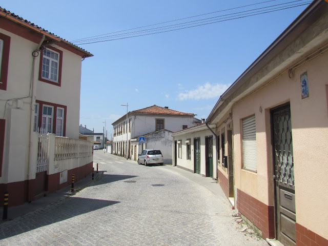
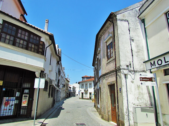
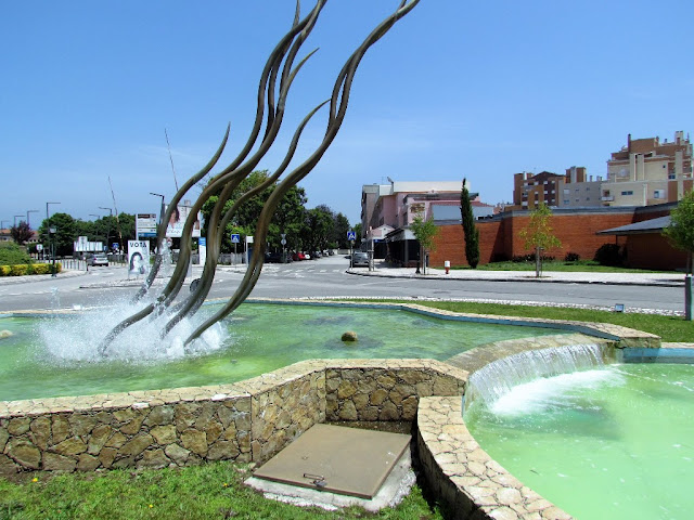
The municipality of Albergaria-a-Velha is located in the transition zone between the coastal municipalities of Murtosa, Aveiro, Estarreja, and Ílhavo and the more mountain communities in the interior.
Administratively, the municipality is divided into 6 civil parishes (freguesias): Albergaria-a-Velha e Valmaior; Alquerubim; Angeja; Branca; Ribeira de Fráguas; São João de Loure e Frossos.
Economy
The fertile lands of Albergaria-a-Velha have been historically a center of agriculture and cattle-raising, so much so, that it has been erroneously considered an agricultural community. In fact, the secondary sector represents 56.2% of the activity within the municipality, while the primary sector occupies 13.6% of the economic activity. This secondary sector includes basic industrial businesses involved in metallurgy, industrial textiles, and lumber industries. These companies are primarily small- to medium-size enterprises with less than 20 employees.
Most of the transformative sectors are concentrated in the parishes of Albergaria-a-Velha and Branca, representing about 90% of the secondary sector. The urbanized area of the parish of Albergaria-a-Velha is the primary beneficiary of these industries; its geo-strategic position in the center of the municipality and industrial zone provides the region with incubator effects. Activities such as metallurgy and fabrication, equipment production, the transformation of lumber goods, paper production, the fabrication and restoration of furniture, as well as the production of ceramics, provide Albergaria-a-Velha with a diversified economic base.
Tourism
Water Mills Route
The Water Mills predominate in Albergaria-a-Velha - a municipality with the largest number of inventoried water mills in Europe - constituting one of the most important elements of the rural landscape throughout the entire municipality. These are elements with a high patrimonial value that delight the eyes of their citizens and all the visitors that dare to explore them.
Albergaria-a-Velha is a land of traditions made of water, bread, and mills. The Water Mills Route is currently made up of 11 clusters in a total of 14 mills with 19 couples of millstones, distributed in different parishes of the county.
💓💓💓💓💓
SEARCH IN ALPHABETICAL ORDER
IN THE DISTRICT OF AVEIRO

Águeda;
Aguada de Baixo;
Albergaria-a-Velha;
Alvarenga + Paradinha;
Anadia;
Arões + Trebilhadouro;
Arouca + Meitriz;
Arouca Unesco Global Geopark;
Avanca;
AVEIRO;
Bussaco;
Castelo de Paiva;
Cortegaça;
Costa Nova;
Covelo de Paivó + Janarde + Drave;
Curia;
Esmoriz;
Estarreja;
Espinho;
Fábrica da Vista Alegre;
Freita Mountain (Serra da Freita);
Ílhavo;
Mealhada;
Murtosa;
Luso;
Oiã (Oliveira do Bairro);
Oliveira de Azeméis;
Oliveira do Bairro;
Ovar;
Palhaça (Aveiro);
Paramos;
Pateira de Fermentelos;
Praia da Barra;
Praia da Vagueira;
Ria de Aveiro;
Salreu;
Sangalhos;
Santa Maria da Feira;
São João da Madeira;
Sever do Vouga;
Silvalde;
Sosa (Vagos);
Vagos;
Vale de Cambra;
Válega;
Oliveira de Azeméis;
Oliveira do Bairro;
Ovar;
Palhaça (Aveiro);
Paramos;
Pateira de Fermentelos;
Praia da Barra;
Praia da Vagueira;
Ria de Aveiro;
Salreu;
Sangalhos;
Santa Maria da Feira;
São João da Madeira;
Sever do Vouga;
Silvalde;
Sosa (Vagos);
Vagos;
Vale de Cambra;
Válega;
Return to mainland Portugal &
the Azores and Madeira islands


