PRAIA DA BARRA
40.63266º N; 8.74627º W
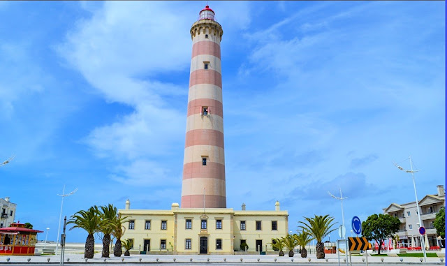
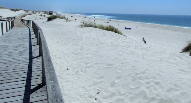
Of the existing built heritage, the Farol da Barra, the Ponte da Barra and the wall stand out. This wall delimits the entrance to the port of Aveiro to the south, and is about 500 m long, entering the sea. This wall separates the existing sand, with Praia da Meia Laranja to the north, and Praia da Barra itself to the south. This beach is a guarded beach. The existing church is dedicated to the Sagrada Familia. This one is next to the Barra Camping.
It is located in the tourist area "Rota da Luz/Região Centro".
💓💓💓💓💓
SEARCH IN ALPHABETICAL ORDER
IN THE DISTRICT OF AVEIRO

Águeda;
Aguada de Baixo;
Albergaria-a-Velha;
Alvarenga + Paradinha;
Anadia;
Arões + Trebilhadouro;
Arouca + Meitriz;
Arouca Unesco Global Geopark;
Avanca;
AVEIRO;
Bussaco;
Castelo de Paiva;
Cortegaça;
Costa Nova;
Covelo de Paivó + Janarde + Drave;
Curia;
Esmoriz;
Estarreja;
Espinho;
Fábrica da Vista Alegre;
Freita Mountain (Serra da Freita);
Ílhavo;
Mealhada;
Murtosa;
Luso;
Oiã (Oliveira do Bairro);
Oliveira de Azeméis;
Oliveira do Bairro;
Ovar;
Palhaça (Aveiro);
Paramos;
Pateira de Fermentelos;
Praia da Barra;
Praia da Vagueira;
Ria de Aveiro;
Salreu;
Sangalhos;
Santa Maria da Feira;
São João da Madeira;
Sever do Vouga;
Silvalde;
Sosa (Vagos);
Vagos;
Vale de Cambra;
Válega;
Oliveira de Azeméis;
Oliveira do Bairro;
Ovar;
Palhaça (Aveiro);
Paramos;
Pateira de Fermentelos;
Praia da Barra;
Praia da Vagueira;
Ria de Aveiro;
Salreu;
Sangalhos;
Santa Maria da Feira;
São João da Madeira;
Sever do Vouga;
Silvalde;
Sosa (Vagos);
Vagos;
Vale de Cambra;
Válega;
Return to mainland Portugal &
the Azores and Madeira islands


